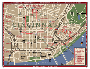
Cathedral Trail - 11.4 Mile Trail
This trail visits many of the same parishes along the 5 Mile trail, but also travels out of the Downtown basin and up onto the hilltop neighborhoods immediately near Downtown and includes many second generation parishes in the growth of the Archdiocese.
|
11.4 Mile Trail Map & Directions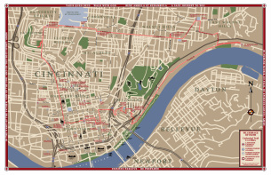
Click on image to download Map and Directions. Note: Due to scale of map, it is advised to print on 11x17 or tile multiple pages.
|
East Side Trail - East Route
The theme for the East Side Trails is the journey to Ordination. The East Side Trails are Pilgrimages toward the Archdiocese of Cincinnati’s Seminary, The Athenaeum Of Ohio. These Pilgrimages are a physical manifestation of the spiritual journey of the men whom God has called to the ordained priesthood. The East Route trail begins at St Bernadette and continues to St Thomas More, Immaculate Heart of Mary, Guardian Angels and finally at the Athenaeum.
(Please note that trail route is along Beechmont Ave / Ohio Pike / St. Rt. 125 with has fast traffic and few sidewalks.) |
10.3 Mile Trail Map & Directions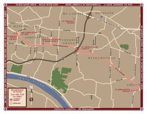
Click on image to download Map and Directions
|
East Side Trail - West Route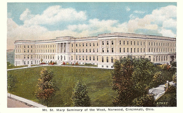
The West Route Trail is similar in concept to the East Route. The Trail is a loop trail. It begins at the former Seminary's location which is now called the Our Lady of the Holy Spirit Center. From there the trail goes to Holy Trinity Church, the Church of the Nativity of our Lord, St Cecila, St Mary Church (Hyde Park), Christ the King parish then returns to the starting point. In the future, once a pedestrian bridge is completed over the Little Miami River, the trail will continue to the current Seminary, The Athenaeum Of Ohio.
|
11 or 14.8 Mile Trail Map & Directions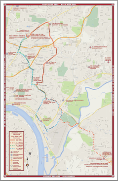
Click on image to download Map and directions.
This map and directions are set up for printing on 11x17 paper. The map is low resolution. A clearer, higher resolution map is available by request. The primary route is Red. The dashed Red route is the future route (10 miles). Once you reach Christ the King parish you have two options; Blue Route - Continue to St. Stephens Church then back to the starting point (14.8 miles) or the Green Route - return back to the starting point (11 miles). |
West Side Trail - South Loop - 10 Miles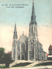
As the Archdiocese of Cincinnati’s population grew the people began to push up and out of the Ohio River valley and began to spread to the west. The South Loop contains the oldest parishes on the West Side. The starting and ending point for the South Loop is St. Lawrence Church. Other parishes along the route include; Holy Family Church, St. William Church, St. Teresa of Avila Catholic Church, St Antoninus Church and Our Lady of Lourdes Church.
|
10 Mile Trail Map & Directions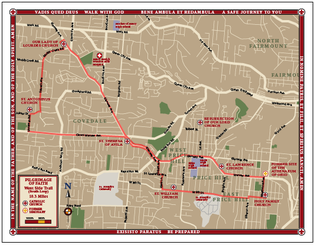
Click on image to download Map and directions.
|
West Side Trail - North Loop - 10.4 Miles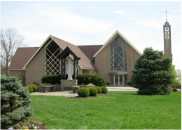
The West Side - North Loop Trail is in the western part of Cincinnati. The starting and ending point is Our Lady of Visitation Church. Other parishes along the route include; St Jude Church,
St Aloysius Gonzaga Church, St Martin of Tours Church and St Catharine of Siena Church. |
10.4 Miles Trail Map & Directions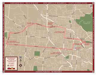
Click on image to download Map and directions.
|
West Side Trail - 20 Mile Trail
The West Side - 20 Mile Trail is in the western part of Cincinnati. It has all of the Churches of the South and North Loop Trails combined plus the addition of the parish Resurrection of Our Lord.
|
20± Miles Trail MapCheck back in the future for the map and directions.
|
Central Trail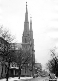
The Central Trail is in the downtown Dayton area. It visits eight parishes and the chapel at the University of Dayton. Part of the hike will be along the Great Miami River. The Churches along the Central Trail are Emmanuel Church, Sacred Heart Church, St Joseph Church, Holy Trinity Church, Holy Family, St. Anthony of Padua Church, St. Mary Church, the Chapel of the Immaculate Conception at the University of Dayton and the Holy Angels Church. The trail is a loop trail starting and ending at the Emmanuel Church.
|
10 Mile Trail Map & Directions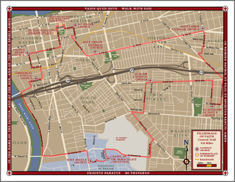
Click on image to download Map and directions.
|
North Trail - West Route - 11.3 Miles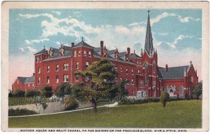
The western route of the North Trail is in the northern portion of the Archdiocese in the area known as "The Land of the Cross - Tipped Churches." This trail is mostly along country roads. It begins at St. Henry Church in St. Henry, Ohio and includes St. Francis, Nativity of the Blessed Virgin Mary, St. Rose, St. John the Baptist and concludes at Maria Stein Shrine of the Holy Relics.
|
11.3 Mile Trail Map & Directions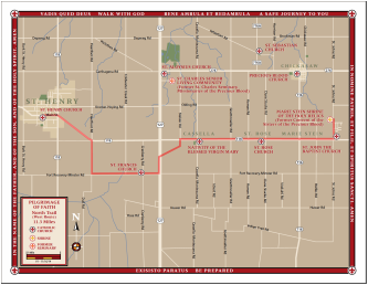
Click on image to download Map and directions.
|
Parking Notification
There will be times Pilgrims will need to be car pooled to and from the Pilgrimage Hikes. Whenever possible, we encourage the display of a notice in the vehicles. The form at right can be downloaded and used at your convenience.
Click on image to download the notice. |
Pilgrimage Prayer Guides |

